Our Services
BATHYMETRIC OR HYDROGRAPHIC SURVEY
BATHYMETRIC OR HYDROGRAPHIC SURVEY
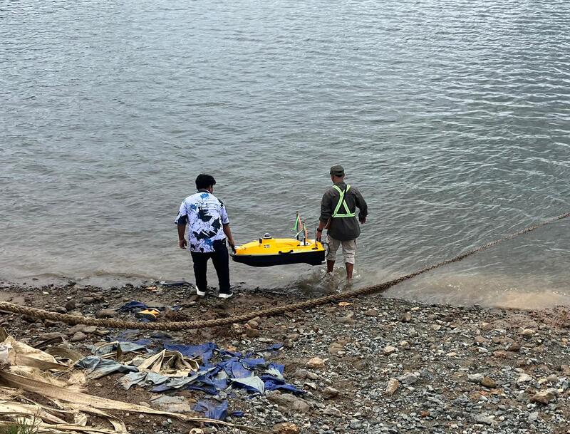
Bathymetric surveys focus on underwater terrain mapping to assess seabed, riverbed, and lakebed conditions. This process generates critical data for ensuring safe and efficient maritime
transportation.
Deliverables include:
Bathymetric Data Reports
Contour Maps of Seabed
3D Models
Scaled PDF Maps (Printable)
GIS and DWG Data
All projects are performed by trained professionals using modern equipment to ensure accuracy, safety, and compliance with applicable standards.